The Routeburn Track is one of New Zealand's 10 Great Walks — a 32-kilometre, three-day tramping route that crosses the Southern Alps from the Routeburn Shelter near Glenorchy to The Divide near Milford Sound. Most Queenstown-based visitors do either a day walk from the Routeburn Shelter end (a 4-5 hour return to the stunning Routeburn Falls Hut and turn around) or a guided day walk from the Divide end to Key Summit (a 3-hour return).
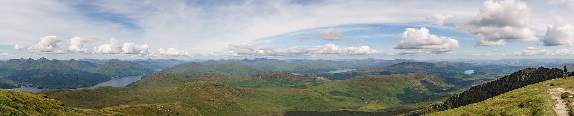
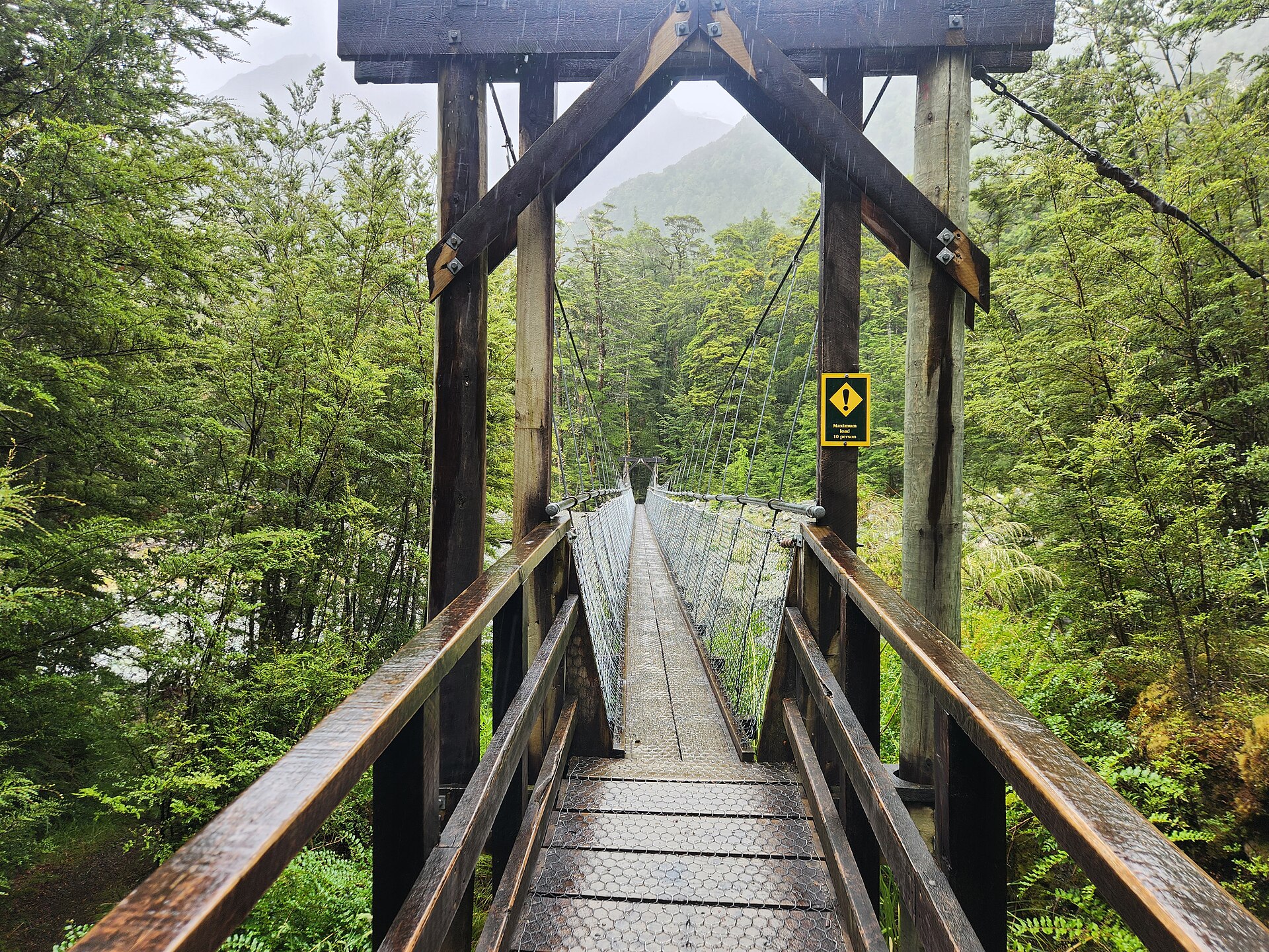
The scenery includes beech forest, alpine tarns, the spectacular Routeburn Flats (a wide glacial valley), and Harris Saddle at 1,277 metres with views across to the Darran Mountains. The full 32-kilometre version requires hut bookings (opens in May for the following summer season, fills within hours) and 3 days. Day walkers can start from either end without bookings. Bring rain gear — the Routeburn crosses from dry Otago into wet Fiordland and the weather can change rapidly.
Verified Facts
The Routeburn Track is 32 kilometres
It is one of New Zealand's 10 Great Walks
The Harris Saddle is at 1,277 metres
Hut bookings open in May for the summer season
Get walking directions
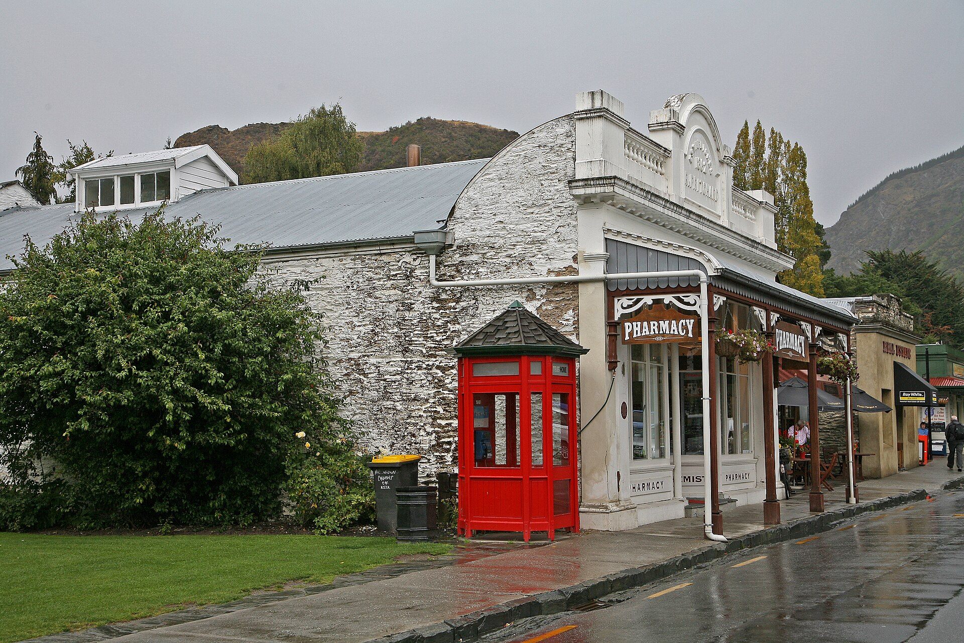
Queenstown, New Zealand