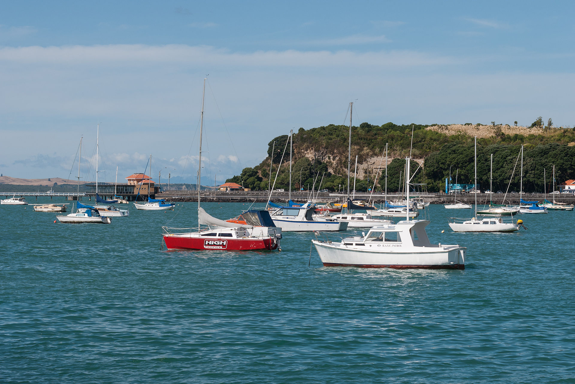
Tāmaki Drive is the coastal road that connects the Auckland CBD to the eastern bays — an 8-kilometre waterfront boulevard built in the 1920s as a public-works project that now provides a flat walking, running, and cycling path with unbroken views across the Waitematā Harbour to Devonport, Rangitoto, and (on clear days) the Coromandel Peninsula. The walk passes Ōkahu Bay (the site of the Ngāti Whātua village forcibly cleared in the 1950s and now restored as a heritage precinct), Mission Bay, Kohimarama, and St Heliers before ending at the Achilles Point viewpoint.
The drive is Auckland's premier weekend exercise corridor — thousands run and cycle along it daily — and the grass verges between the road and the beach are lined with families picnicking in summer. The Bastion Point monument and Ōkahu Bay Marae, representing the Ngāti Whātua o Ōrākei iwi, anchor the Māori history of the area. The drive can be walked in sections or ridden end-to-end in about an hour.
Verified Facts
Tāmaki Drive is about 8 kilometres long
The road was built in the 1920s as a public-works project
Ōkahu Bay village was cleared in the 1950s
The Ngāti Whātua o Ōrākei iwi are the mana whenua of the area
Get walking directions
Tamaki Drive, Auckland