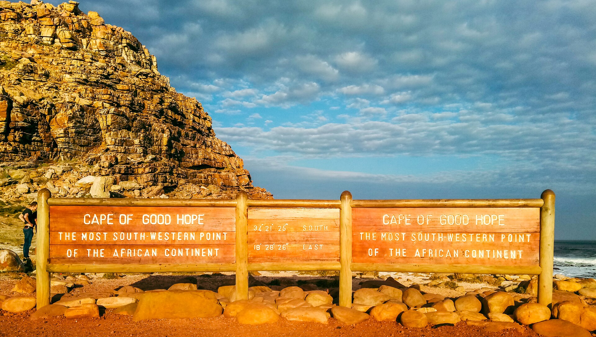
The Cape of Good Hope is the southwestern tip of Africa — a dramatic headland of cliffs, fynbos-covered hills, and crashing ocean that marks the point where the cold Benguela Current from the Atlantic meets the warm Agulhas Current from the Indian Ocean. The cape is not technically the southernmost point of Africa (that's Cape Agulhas, 150km southeast), but its dramatic landscape and its historical significance — this was the landmark that Portuguese sailors rounded on their way to India — make it the symbolic meeting point of two oceans.
Cape Point, the rocky promontory at the tip of the peninsula, is reached by a winding road through Table Mountain National Park that passes beaches, baboon troops, ostriches, and the kind of coastal scenery that justifies every superlative written about the Cape Peninsula. The old lighthouse at the top of Cape Point (accessible by funicular or a steep walk) provides views that on a clear day extend to the horizon in every direction — ocean, mountains, cliffs, and the white water where the currents collide.
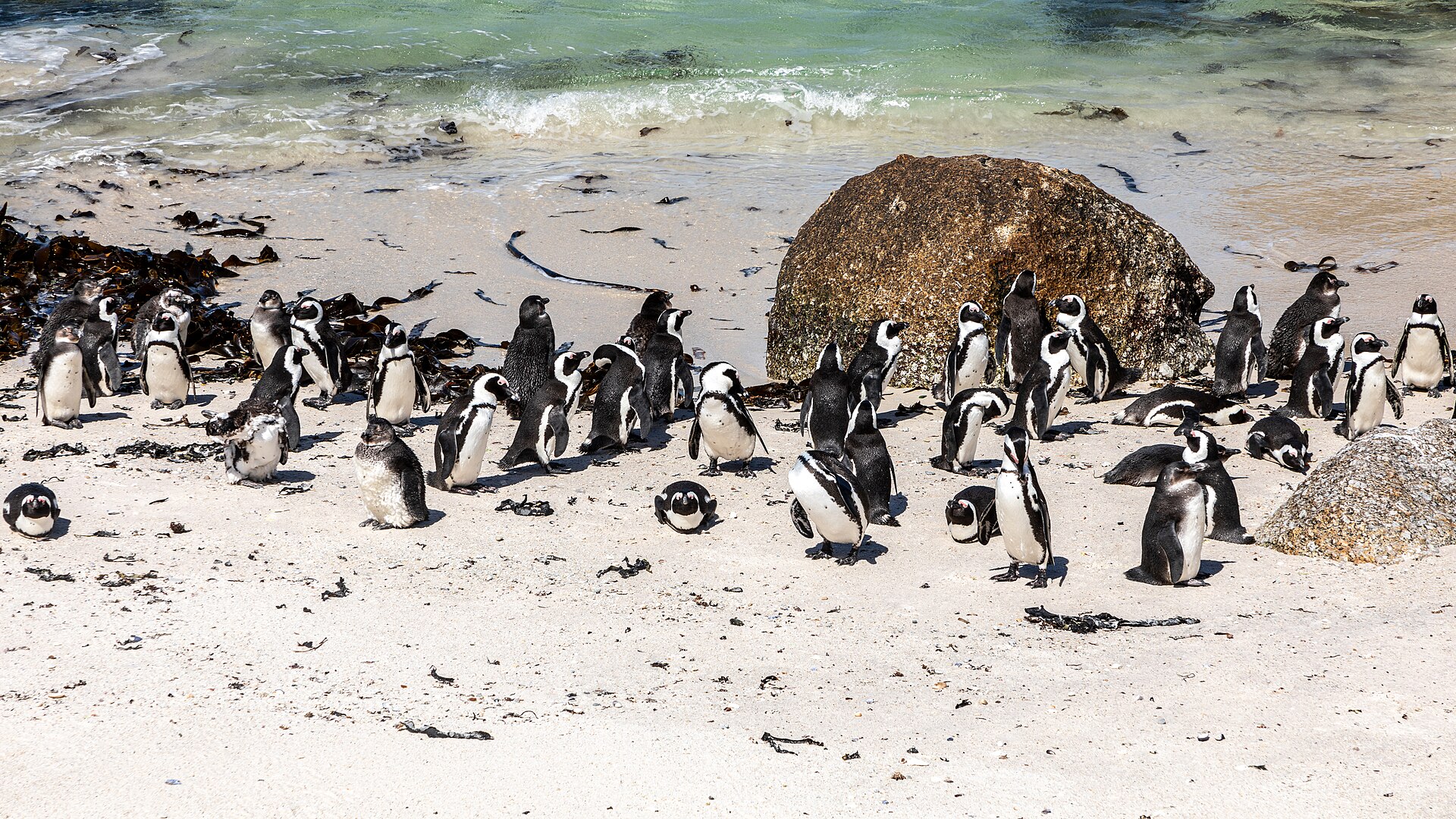
The drive along the peninsula from Cape Town (about 75km) is one of the great coastal drives in the world — passing through Hout Bay, Chapman's Peak Drive (carved into the cliff face 600 metres above the sea), and Simon's Town (home to a colony of African penguins at Boulders Beach that is one of the most popular wildlife experiences in South Africa). The cape is a full-day excursion from Cape Town, and combining it with Simon's Town, Chapman's Peak, and Kalk Bay (a fishing village with excellent restaurants) creates a day trip that covers the full range of the Cape Peninsula's landscapes.
Verified Facts
The Cape of Good Hope is the southwestern tip of Africa
Cape Agulhas, not the Cape of Good Hope, is the southernmost point of Africa
The Benguela (Atlantic) and Agulhas (Indian Ocean) currents meet near the cape
Boulders Beach near Simon's Town has a colony of African penguins
Get walking directions
Cape Town, South Africa