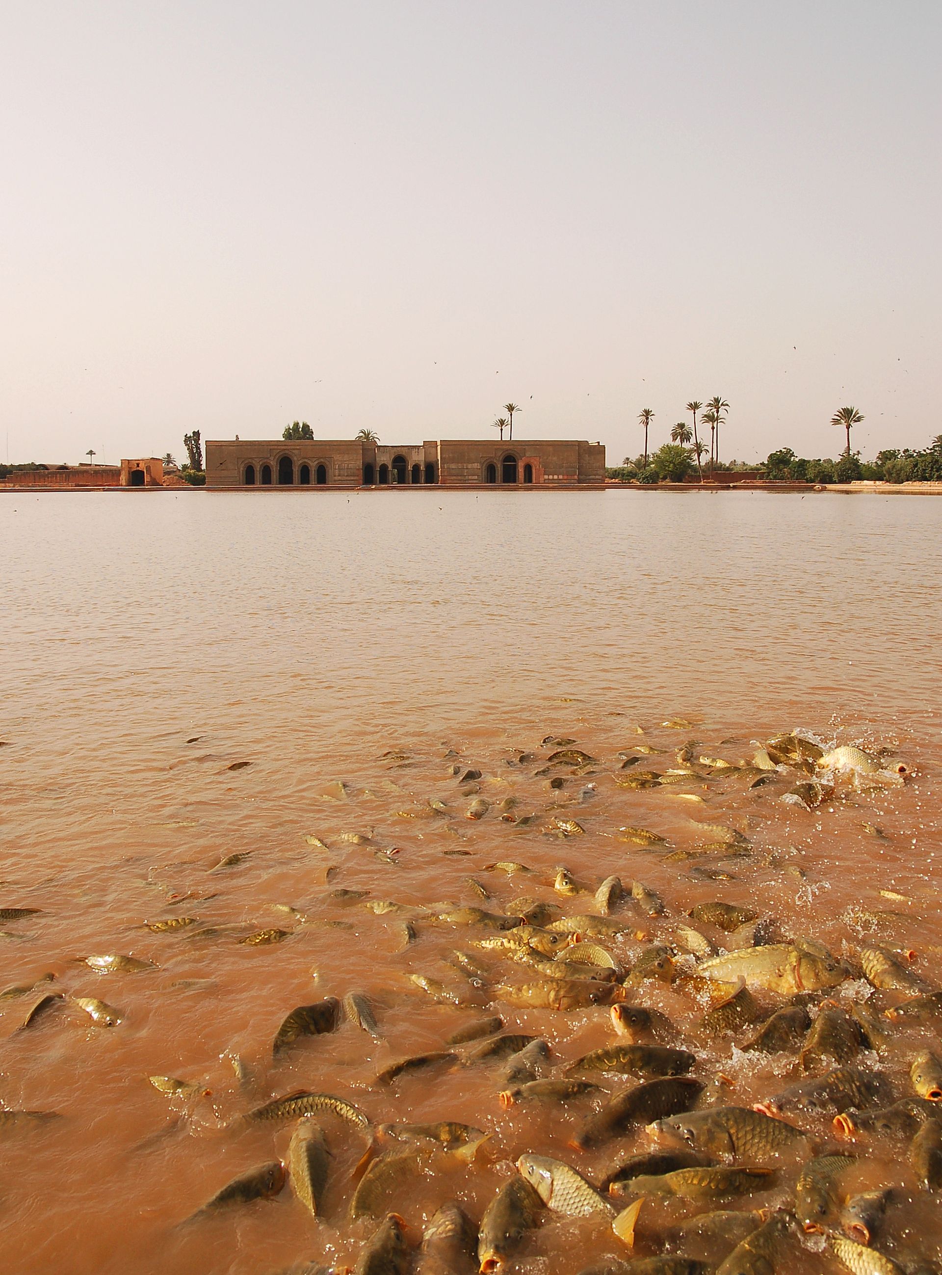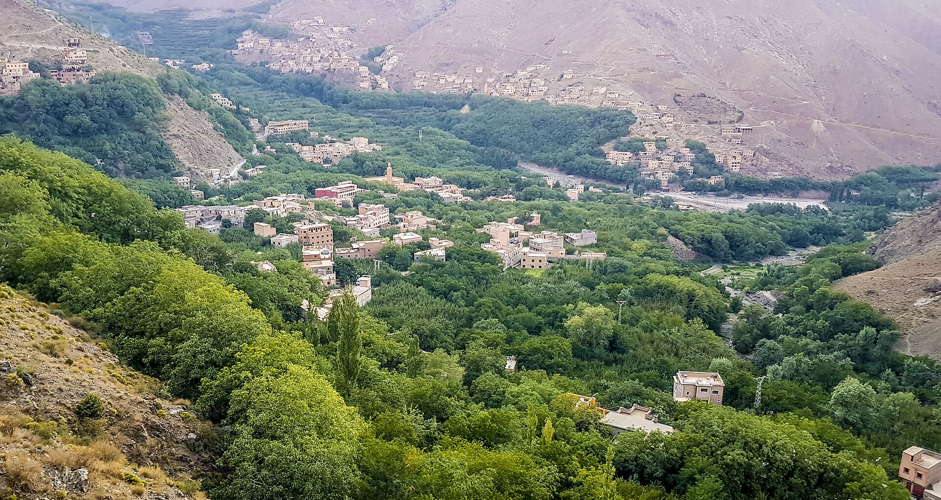
The Atlas Mountains rise directly behind Marrakech — a wall of peaks reaching over 4,000 metres that provides the city's most dramatic backdrop and the most accessible mountain experience in North Africa. Imlil, a Berber village 60 kilometres south of Marrakech at 1,740 metres elevation, is the most popular base for Atlas excursions and can be reached in 90 minutes by road through a landscape that transitions from arid plains to terraced mountain valleys.
The drive to Imlil passes through increasingly dramatic scenery — the Ourika Valley (with its waterfalls and Berber villages), the switchback road climbing through walnut and cherry orchards, and the first views of Jebel Toubkal (4,167 metres, the highest peak in North Africa) as you approach the village. Imlil itself is a cluster of stone and mud-brick houses surrounded by terraced fields, with guesthouses and a handful of cafés catering to hikers.
The full Toubkal ascent is a 2-day trek requiring mountain equipment, but day hikes from Imlil — to the Armed Refuge, through the Berber villages of Aremd and Setti Fatma, or along the valley floor — provide mountain scenery and encounters with traditional Berber life that are accessible to anyone with reasonable fitness. The Berber hospitality tradition — mint tea offered to guests in every village — makes Atlas hiking as much a cultural as a physical experience. Organised day trips from Marrakech (available through most riads and tour agencies) provide transport and guides, making the mountains accessible even to visitors with limited time.
Verified Facts
Jebel Toubkal at 4,167 metres is the highest peak in North Africa
Imlil is 60 kilometres from Marrakech at 1,740 metres elevation
The drive from Marrakech to Imlil takes approximately 90 minutes
Berber hospitality tradition includes offering mint tea to visitors
Get walking directions
Bab Atlas, Municipalité de Marrakech, 40000, Morocco